Toward Human-Centered GIS Solutions
The Human-Centered GIS (HCGIS) Lab focuses on developing and applying human-centered, equity-oriented GIS approaches to address pressing societal challenges, such as public health, community development, and food access. We combine spatial models and data (e.g., mobility tracking, GeoAI, and interactive mapping) with community-based inquiries to capture both the broader patterns of a community and the human insights behind them. Our goal is to make GIS and mapping more responsive to how people experience, understand, and shape their communities.
Human Mobility Research
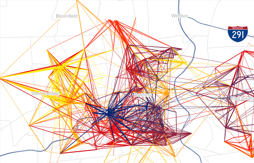
By leveraging GPS-based human mobility data, we examine how people’s movement patterns influence their behaviors and health outcomes across space and over time.

Food Environment Indices
We construct nationwide food environment indices to quantify the accessibility and quality of food sources. These indices provide benchmarks for policy evaluations and urban planning.

Community GIS Tools
We develop interactive mapping tools, such as dashboards and mobile apps. These data visualization tools support community building and informed decision-making.