Community-Oriented GIS Solutions
Our lab empowers UConn communities and beyond to visualize and analyze spatial data for informed decision-making. Our GIS solutions — ranging from static maps and web maps to more complex data dashboards and mobile apps — enhance community users’ digital literacy, provide spatial evidence for policymaking, and foster sustainable community development.
Love Your Block
Web Map (Beta)
The City of Hartford’s Love Your Block (LYB) program provides small grants to Hartford residents and institutions to beautify their neighborhoods.
Partners: UConn RRCRE & City of Hartford

Windham Food App
Web Map
Windham.life is a USDA-funded GIS app visualizing community resources in Willimantic, Windham County, CT. The map is mobile-compatible.
Partner: UConn Nutritional Sciences
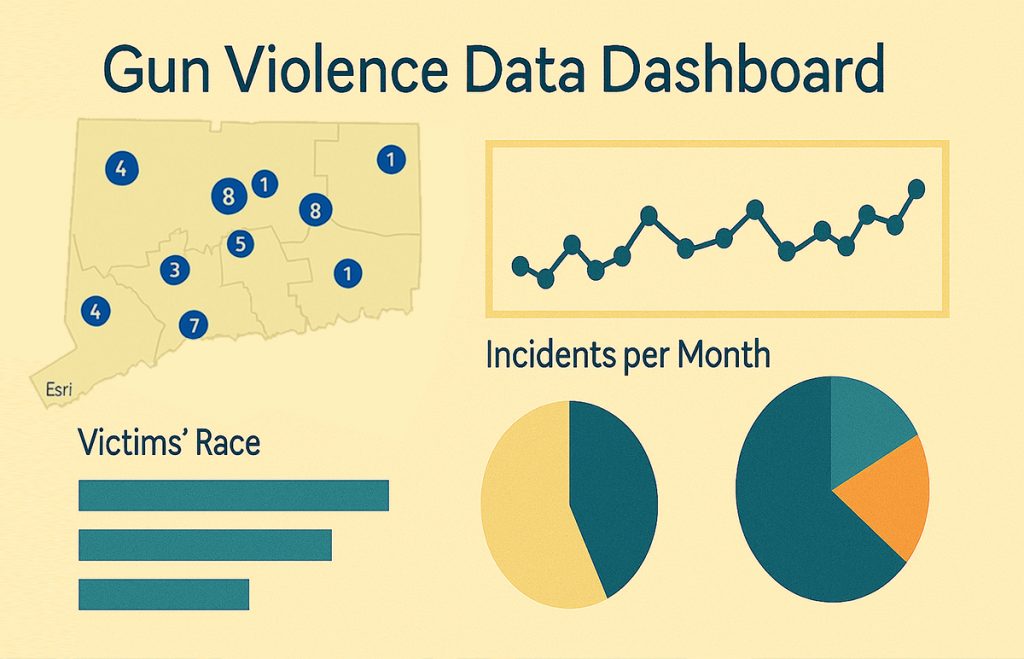
CT Violent Mortality
Interactive Dashboard
The Connecticut Decedents of Violent Mortality Dashboard provides a comprehensive analysis of gun-related deaths across all towns in Connecticut.
Partner: UConn ARMS
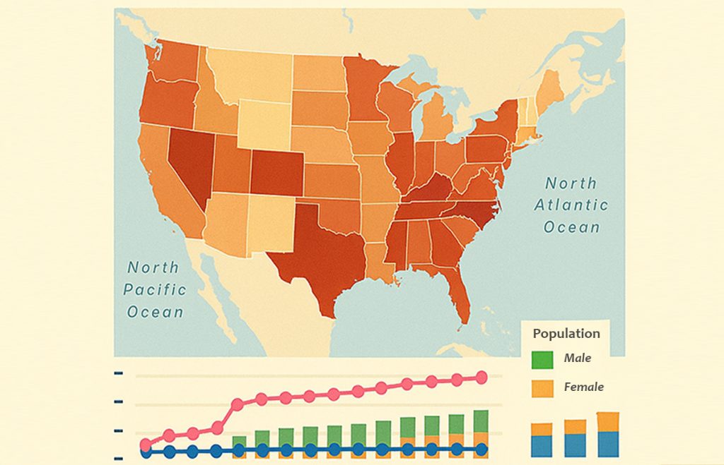
Puerto Rican Viewer
Interactive Dashboard
The Puerto Rican Data Viewer is an interactive dashboard to visualize demographic, social, and economic data about Puerto Rican communities across the United States.
Partner: UConn El Instituto
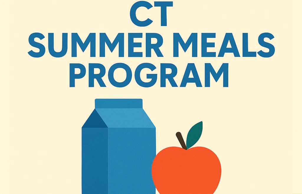
CT Summer Meals
Static Map
The project creates multiple thematic maps and performs a series of spatial analyses to evaluate the distribution, accessibility, and equity of the 2021 USDA Summer Meals Program in Connecticut.
Partner: UConn Rudd Center
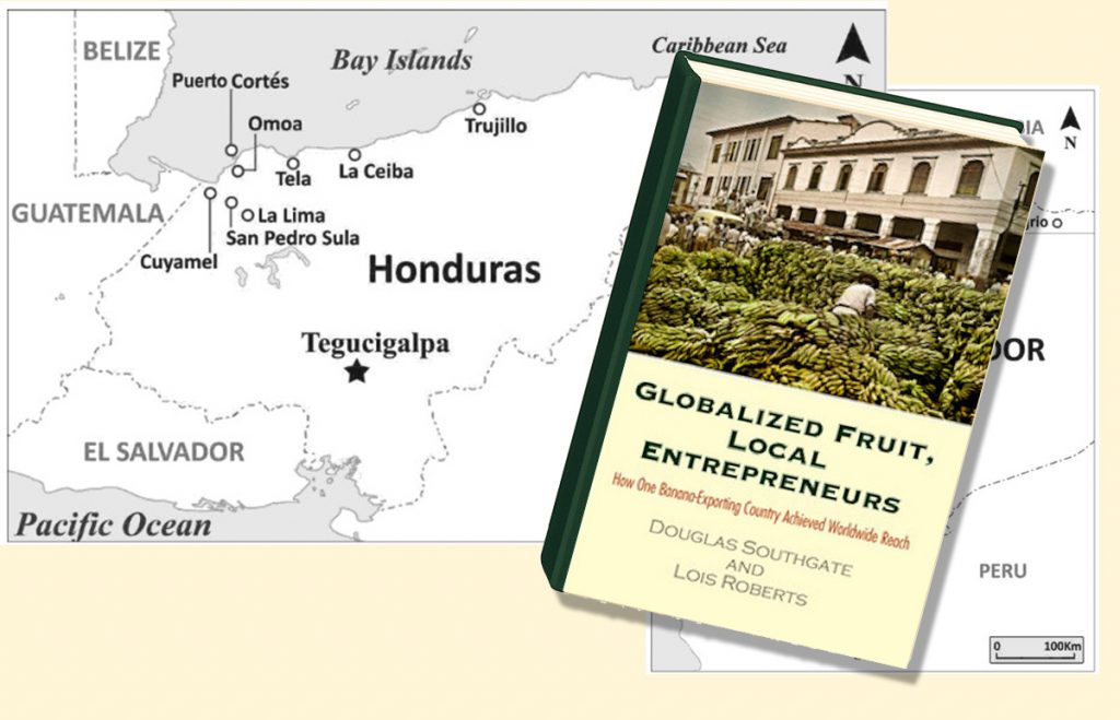
Maps of Latin America
Static Map
The project creates several custom area maps for the book Globalized Fruit, Local Entrepreneurs, providing visual context of local entrepreneurs engage with global markets.
Partner: Douglas Southgate (OSU)